Geographical Information Systems (GIS)
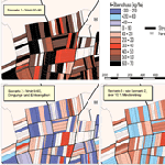
We use Geographical Information Systems (GIS) like ArcGIS® and other programmes as tools for the visualisation and interpretation of spatial data. We also calculate the effects of land use scenarios on different indicators using GIS.


